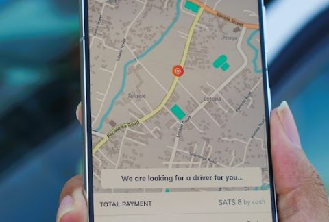
SkyEye Base Control Network Test
SkyEye GIS/RS team set about creating a base control point to use for drone mapping which would allow the team to get millimetre level absolute accuracy for their drone mapping …
Latest updates on SkyEye Work
SkyEye GIS/RS team set about creating a base control point to use for drone mapping which would allow the team to get millimetre level absolute accuracy for their drone mapping …
The use of SkyEye Fleet Management system in partnership with the Ministry of Natural Resources and Environment and enabling development partner in JICA has improved the efficiency and effectiveness of …
SkyEye Pacific was requested by the Fire & Emergency Services Authority to offer training for their staff on their newest Mavic 2 Enterprise drone for the betterment of their Fire …